The Appalachian Trail for All
You don’t have to be a hard-core hiker to enjoy this celebrated pathway
My Appalachian Trail (AT) expedition had a decidedly modest start. I walked along a brick sidewalk in the historic village of Harpers Ferry, West Virginia, guided by markers painted on telephone poles. They led me past 19th-century buildings and across a parking lot before pointing me to the woods, where I finally stepped onto the famous trail.
I followed the AT downhill toward Jefferson Rock overlook, pausing to admire the spot where the Shenandoah River meets the Potomac River, a view that had once enchanted our third president after whom the spot is now named. Next, I passed the ruins of a church, and at the bottom of the hill, with twilight approaching, I reluctantly left the path and strolled back to my car. In total, I covered just over 1.5 miles.
But now I had bragging rights. I had hiked the AT—or at least a very small section of it.
Last year, nearly 3,000 people attempted to complete the entire 2,190-mile Georgia-to-Maine trail. About 800 completed their goal. But the path is not just for extreme hikers. As I learned that afternoon, the rest of us can enjoy it, too.
“It really is everyone’s trail,” says Caitlin Miller of the Appalachian Trail Conservancy. “You don’t have to walk all the way to Maine to have that AT experience.”
Here are a handful of spots to find your own trail adventure.
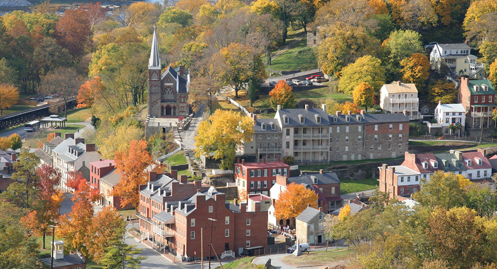 Harpers Ferry. Photo courtesy of ATC
HARPERS FERRY, WEST VIRGINIA
The main office of the Appalachian Trail Conservancy introduces visitors to the multistate trail, which was proposed in 1921 with the idea of knitting together national and state parks, forests and other public lands into a wilderness adventure easily accessible from major East Coast cities.
A tabletop relief map shows the challenge through-hikers take on. I couldn’t resist tracing my finger along the path as it climbed from Georgia to the trail’s highest point in the Smoky Mountains, then up through the Blue Ridge Mountains to where I stood in West Virginia. The path continues north, snaking its way to its northern terminus in Mount Katahdin, Maine.
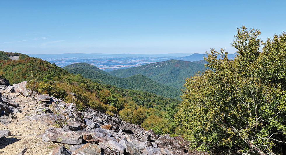 The view from Blackrock Summit, Shenandoah National Park. Photo courtesy of NPS/Erica Stevens
SHENANDOAH NATIONAL PARK, VIRGINIA
You won’t have trouble finding the trail in Shenandoah National Park. Skyline Drive, the park’s 100-mile ridge-topping road, parallels the path, which crisscrosses the road dozens of times. The AT runs past such landmarks as Big Meadows Lodge, Skyland Resort and Lewis Mountain Campground.
Hitting the trail can be as easy as clicking on your car’s turn signal and pulling over. “You can literally hop on the trail right from the road’s wayside areas and be at a view in a half-hour,” says Miller.
The well-traversed 1-mile loop to Blackrock Summit follows the AT to a rock scramble. The park service rates the hike as easy, but that hardly diminishes the sweeping views across the Shenandoah Valley.
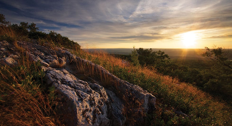 High Point State Park. Photo courtesy of New York-New Jersey Trail Conference
HIGH POINT STATE PARK, NEW JERSEY
Hundreds of miles north, the path cuts across the northwest corner of New Jersey, passing through High Point State Park at the state’s highest elevation, 1,803 feet. A loop hike leads to a tower offering a panoramic view of New Jersey, New York and Pennsylvania.
The park is a popular resting point for through-hikers, says Rebecca Fitzgerald, New Jersey’s State Park Service administrator. “What’s really cool is that park visitors have a chance to interact with people who are hiking the trail.”
Visitors should try it themselves, she adds. “Even if it’s just for a couple minutes, take time to walk on the trail. You’ll be transported to a completely different experience.”
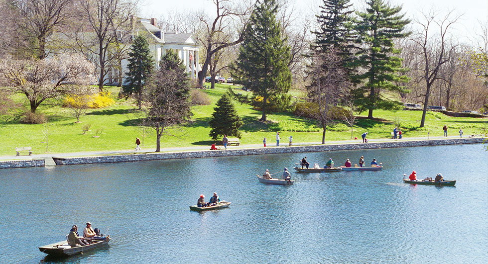 Children’s Lake. Photo courtesy of Cumberland Valley Visitors Bureau
BOILING SPRINGS, PENNSYLVANIA
Through-hikers are eager to reach the town of Boiling Springs because it means they’ve reached the trail’s halfway point.
Day visitors can walk along the AT on a short loop around Children’s Lake, a spring-fed pond in the middle of town created in the 1750s to power iron production. Others follow the lake trail south through woods and by fields. There are no wrong choices, says Miller. “It’s a lovely stroll through the Cumberland Valley.”
If you’re feeling hungry, take a short drive to Pine Grove Furnace General Store, home to the Half-Gallon Challenge, which dares hikers to eat a brick-size chunk of ice cream in one sitting. For backpackers, who can burn up to 5,000 calories a day, it’s a chance to refuel. But for the rest of us, it’s probably best to limit your snack to a cone.
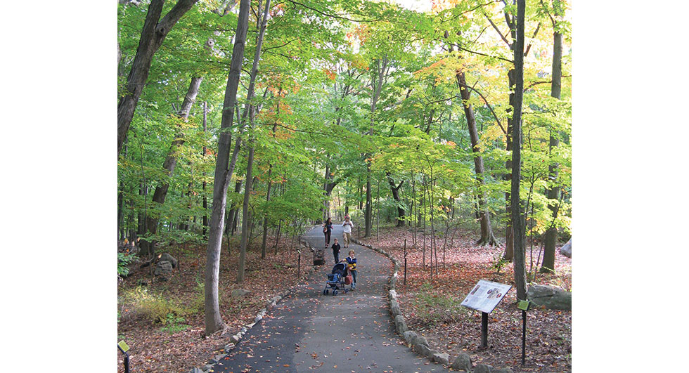 Bear Mountain State Park. Photo courtesy of New York State Parks, Recreation & Historic Preservation
BEAR MOUNTAIN STATE PARK, NEW YORK
Trail hikers are guaranteed to see wildlife in this New York state park. At Bear Mountain, the path passes by four small museums and directly through a zoo set in a 30-acre forest. The zoo is home to animals from the region that have been injured or can’t be rereleased into the wild. Look for raptors, coyotes and a pair of black bears.
The hiking is equally intriguing. From the zoo, visitors can descend to the Hudson River, the lowest point on the entire trail, or climb to a mountain peak tower. Looking to the south, you can sometimes see the skyscrapers of Manhattan, some 40 miles away.
MCAFEE KNOB, NEAR ROANOKE, VIRGINIA
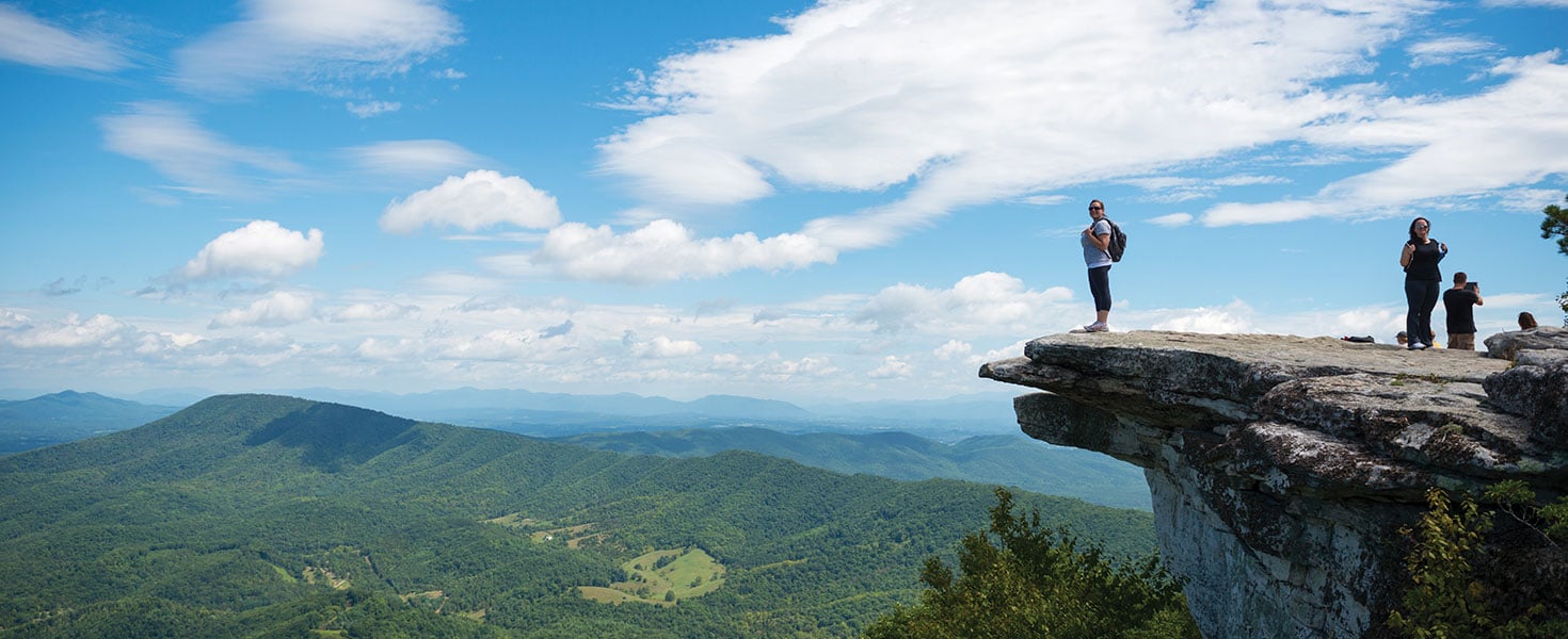
For another famous view, try McAfee Knob, the most-photographed spot on the AT. The stone ledge appears to hang over the lush Catawba Valley and is featured on countless Instagram posts, T-shirts and even Virginia’s Appalachian Trail license plate.
Rated moderately challenging, the 8-mile out-and-back hike is so popular that Virginia’s Roanoke County recently added a weekend shuttle to ferry hikers to the trailhead.
I had the landmark to myself on a midweek afternoon. Standing on the ledge looking north, I felt on top of the world. And for a moment, it seemed, I could almost see Maine.
