

It's been more than 20 years since TomTom released the world’s first all-in-one satnav device and more than a decade since Apple Maps made its debut on iPhones. As technology has vastly improved in recent years, the steady stream of memes poking fun at Apple Maps’ sometimes-funny—or sometimes-downright dangerous—directional blunders has waned.
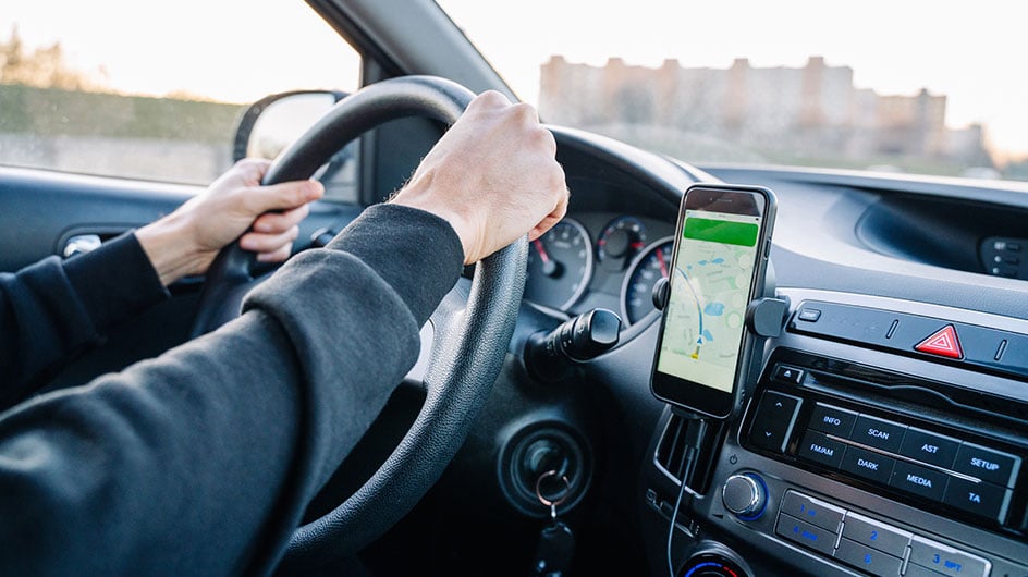
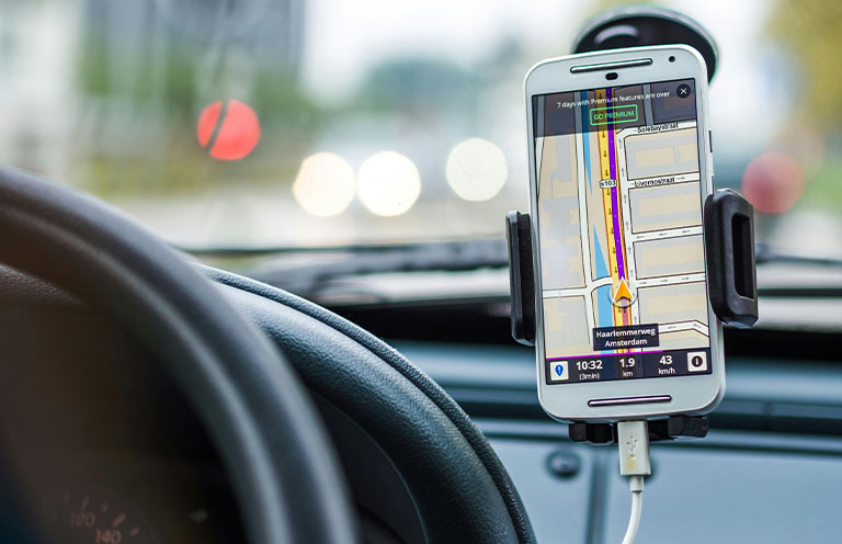
These days, instead of a clunky TomTom on your dashboard, you likely carry several powerful map apps right on your phone. With a few smart tips, you can make sure these GPS apps are set up to work the way you want—and actually get you to your destination.

Verify routes
Before following your GPS guidance, review the route to ensure the map will guide you to your destination in the way you prefer.
Your first preview option is the map overview, which usually highlights a suggested route and one or two alternate routes. Once you select a route, you can view a text-based preview that lists each turn and merge. Photos of these turns are often included in the preview. Many GPS apps offer this visual aid to help you navigate more confidently.
You can also review parking options near your destination and decide whether to change your GPS destination to a nearby parking garage instead of the establishment itself.
Customize your route
Many GPS apps allow you to customize your route preferences. You can program the map to avoid toll roads or highways. Depending on your city, you may also have the option to prioritize HOV (High-Occupancy Vehicle) lanes on your route. Your app can even reroute you based on current traffic conditions.
If you're not traveling by car, your app can still help. Walking and biking directions are available, and mixed-mode directions are an option, too. When selecting transit as your mode of transport, the app will include walking directions both to the train station and from the station to your final destination.
The app will also indicate which exit to take within the train station to help you reach your destination as quickly as possible.
Stay connected
Whether you’re abroad and trying to avoid data fees or at home and concerned about signal strength, downloading maps before leaving home is a smart solution.
To download a map, first search for a city. If you’re using the Google Maps app, swipe left on the popup at the bottom of your screen to reveal the “Download offline map” option. After selecting it, you can zoom in or out to choose how much area you want to download. Be sure to enable automatic updates so that you're always using the latest version of the map.
Once the map is downloaded, use the app as usual. If your internet connection is slow or unavailable, the app will continue to function.
Update your navigation systems
It's not just the maps downloaded on your phone that need updating; your car's built-in navigation system may also require updates. How you update your GPS depends on the age and model of your vehicle. Some systems allow digital downloads via a USB drive or over-the-air updates, while older systems may require you to order a physical disc or SD card from the dealership. Newer cars often automatically update maps if connected to Wi-Fi.
Check your car's manual or the manufacturer's website for specific instructions. Keeping your navigation system current ensures access to the latest roads, traffic patterns, and points of interest. Even if you mostly rely on mobile GPS apps, keeping your in-car system updated ensures a reliable backup.

Download specialty map apps
While Google and Apple Maps have significantly increased their walking, biking, and public transit directions, specialty apps offer more nuanced features for specific activities. Consider adding one or more of these to your travel toolkit:
- AllTrails – Ideal for hiking, this app shows recent trail reports from other hikers and offers real-time tracking to help ensure you stay on course. If you're having trouble finding or following color-coded trail markers, don’t worry—your phone will vibrate to alert you if it detects that you’ve veered off your selected trail. An offline map feature is also available.
- Transit – Designed for urban commuters, Transit uses live data from other riders to show exactly when your bus or train is approaching and how crowded it is. It offers added reliability for navigating public transit systems in real time.
- GuideAlong (formerly GyPSy Guide) – This GPS-enabled audio tour guide app is designed for road trips. As you drive, it provides context about the destinations you're passing through. Think scenic viewpoints, historical notes, and local tips. It's especially helpful in places like Banff and Yosemite, where cell service can be spotty and the app can continue working offline.
. . . . .
No matter where you’re going or how you’re getting there, there's an app that can guide you accurately and safely. Choosing the right app—and knowing its unique features—will ensure that getting from point A to point B goes as smoothly and enjoyably as possible.