


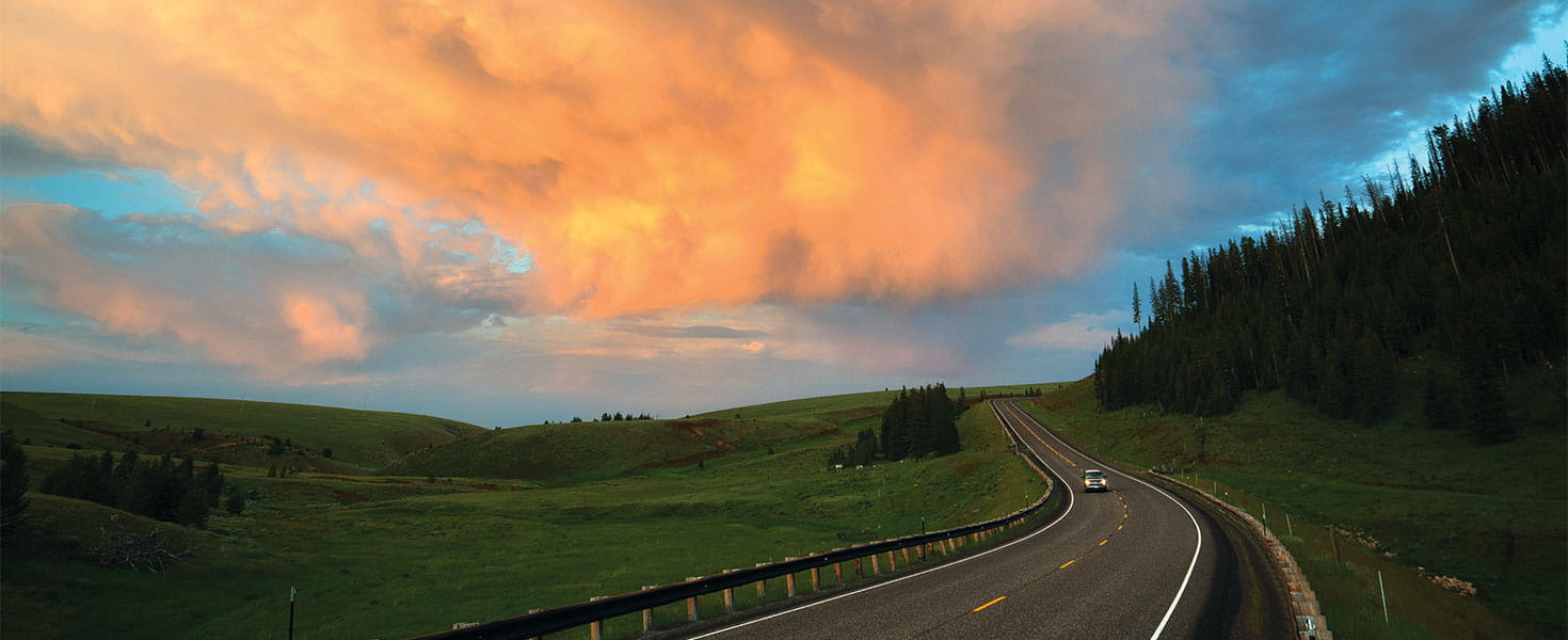

The most direct route between Red Lodge, Montana, and Cody, Wyoming, takes just over an hour to drive. That is not the path i’ve chosen. Instead, I’m devoting an entire late spring day to twisting and turning—and stopping at many, many scenic overlooks—along 100 or so miles of two roads: Beartooth Highway and Chief Joseph Scenic Byway.
The long way from the small Montana mountain town in the north to the rollicking Wyoming cowboy community to the south offers adrenaline-inducing bends and truly epic scenery to those brave enough to slide behind the wheel. Seeing the wolf, perhaps the most elusive wild animal in the West, is proof I’m going the right way. After it tosses me one more sidelong glance, leaps the guardrail and saunters down the hillside, the wolf and I both continue on our journeys.
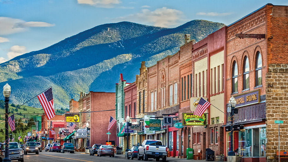
THE ROAD FROM RED LODGE
Any day in Red Lodge, Montana, should begin at The Wild Table, an eatery serving a menu of locally procured foods. There are always rotating specials, but you can’t go wrong with the Montana Lox: a bagel piled with tomato, onion, egg, cream cheese and smoked trout. It’s ideal fuel for the drive to come.
For the first half of its history, Red Lodge was a mining town. A rich coal seam was discovered beneath the frontier outpost in 1866, and settlers flooded in. When the Great Depression hit, the mines began to close and Red Lodge shifted its attention to tourism. The road that once dead-ended at the southern edge of town would be extended over and through the rugged mountains to Yellowstone National Park.
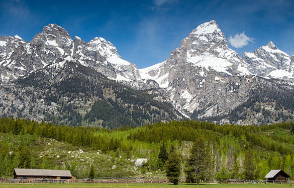
Construction on that extension began in 1932, and what the construction crew—men working with steam shovels, pickaxes and explosives for 50 cents an hour—created in four years is nothing short of a masterpiece. Now, Beartooth Highway climbs to 10,947 feet through the highest peaks in a state whose Latin name literally means “mountainous country.”
The glacier-carved landscape surrounding the road includes more than two dozen summits above 12,000 feet and hundreds of sparkling mountain lakes, tumbling streams and thundering waterfalls. But it’s as dangerous as it is beautiful: Hairpin turns skirt the edges of sheer drop-offs with guardrails that seem more like suggestions than true safety measures.
At this elevation, the weather is unpredictable. The route is open only from late May through mid-October, but midsummer blizzards are typical (and welcomed by those who make the trek to ski Beartooth Basin Summer Ski Area). Even in the hottest months of the year, the pavement can be flanked by snowdrifts much taller than a person or their car. In short, it’s not a route for the faint of heart.
A HISTORY LESSON IN WYOMING
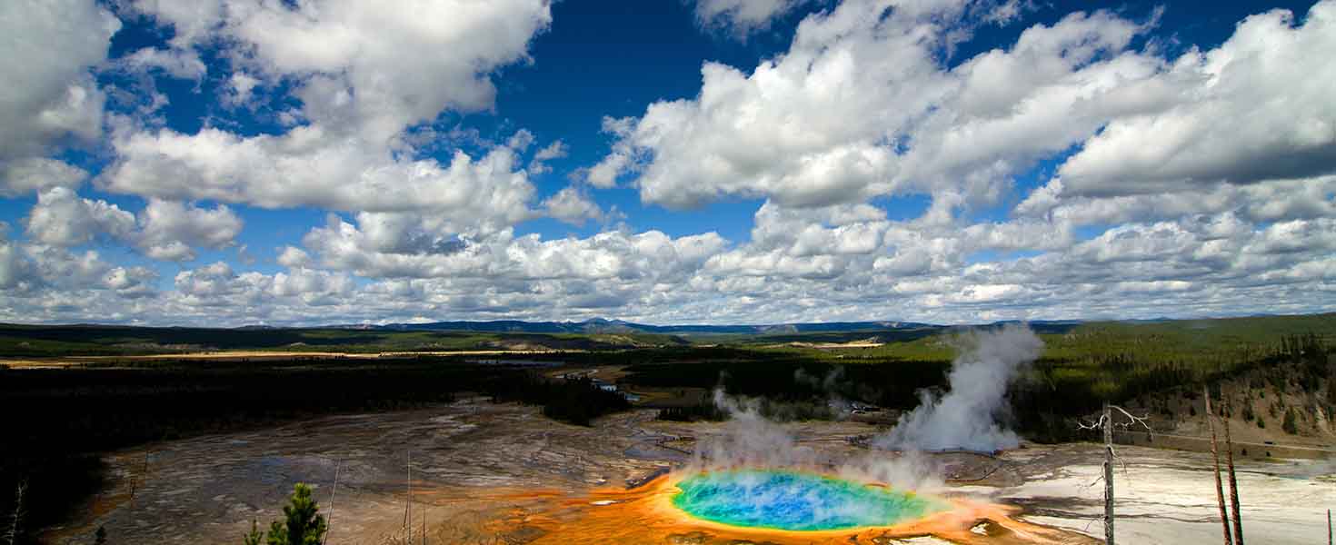
Not long after the highway crosses into Wyoming, I stop off at the Top of the World store, the only place along this route to shop for food or souvenirs, refuel or use a bathroom. Then, it’s back in the car for the second half of the drive. If I stayed straight, Beartooth Highway would take me back up into Montana to the town of Silver Gate, just outside the lesser-used northeast entrance of Yellowstone National Park. Instead, I turn off onto the day’s second historic road: Chief Joseph Scenic Byway.
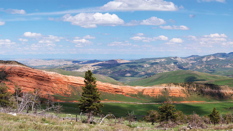
The serpentine road through the Absaroka mountains is more than just a scenic route; its name is a reminder of the role it played in a dark chapter of American history. During the Nez Perce War of 1877, a battalion of several hundred US Army soldiers marched to the base of the Absarokas to cut off the fleeing tribe. Chief Joseph led an estimated 700 men, women and children through Yellowstone Park and into the mountains along this route. Though the Nez Perce would be cornered and defeated a few weeks later in Montana, the effort solidified Chief Joseph’s heroic legacy.
I follow his route through Shoshone National Forest, wending through lush valleys along the Clark’s Fork of the Yellowstone River and climbing switchbacks up the side of craggy mountains. I marvel as I cross the highest and longest bridge in the state of Wyoming, nearly 300 feet above Sunlight Gorge.
WHOOPING IT UP IN CODY
Before I know it, I’m descending into Cody, a town that carries the name and spirit of its founder: frontier showman Buffalo Bill Cody. It’s a place that was designed from its earliest days to welcome tourists to the American West, and perhaps nowhere does it better.
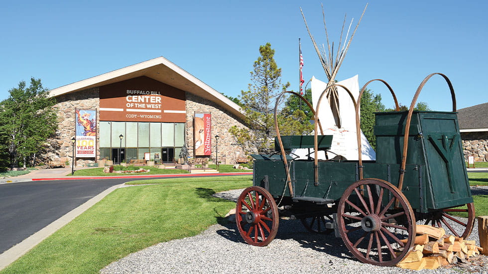
After a quick bite and an old-fashioned huckleberry ice cream soda at Annie’s Soda Saloon, I spend the afternoon at the Buffalo Bill Center of the West, an enormous Smithsonian-affiliated institution that’s home to five separate museums devoted to the Plains Indians, Yellowstone’s natural history, the West’s firearms, its painters and sculptors, and Buffalo Bill himself.
The consummate performer, Buffalo Bill knew how to entertain a crowd, and that legacy lives on in Cody. It’s the only place in the country that hosts a nightly rodeo from June through August, earning it the title “Rodeo Capital of the World.”
After a long day on the road and an exhilarating evening in the rodeo stands, I head to bed. There’ll be more scenic driving the next day, when I take the North Fork Highway from Cody to Yellowstone’s western gate and beyond. But for now, I dream of winding roads, wolves and all that’s still wild in the West.